|
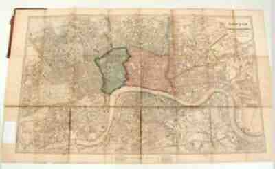
LONDON with it's Postal Sub-Divisions reduced from the Map Prepared by Edward Stanford for use in the London and Provincial Post Offices by Command of the Post Master General Edward Stanford, London, c. 1875. Hardbound Cover, only back remains, 6 1/4" by 4". Attached to the rear cover, map unfolds to 29 3/8" by 17 3/4" and is not backed. The map shows minor wear at the folds with minor staining. 2 areas hand colored. No fading. A beautiful English map. Shipping weight, well packed, is under 1 lb. Insurance has been added to the shipping cost as per Ebay's mandate. Please be sure to enlarge the... |

