|
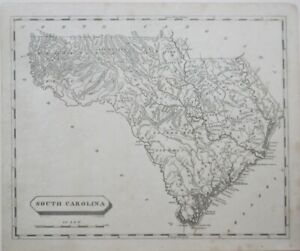
Original 1812 antique engraved Arrowsmith & Lewis map of South Carolina. The map was drawn by Samuel Lewis, engraved by David Fairman, and published in Aaron Arrowsmith & Samuel Lewis' A New and Elegant General Atlas, Comprising All the New Discoveries to the Present Time, Thomas & Andrews, Boston, 1812. The image area measures 20.1 x 24.8 cm [8" x 9¾"], and there's a distance scale below the title block. Topography is drawn in relief, and longitude is measured from Philadelphia and London. A large area at the foot of the Allegheny Mountains in the Washington District is delineated by the Ind... |

