|
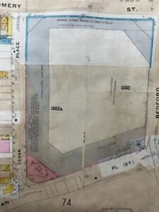
This is an original hand colored 1908 Sanborn Insurance Map with updates to 1930 in VG+/EX condition. Map measures 18x26 1/2 inches and is double sided.Plat 60 covers from Sullivan Place to Carroll Street and from Franklin Avenue to Bedford Avenue. Plat 61 covers from Sullivan Place to President Street and from Bedford Avenue to Rogers Avenue.I have included the Explanation key that appears in the last photograph is for reference only and is not on the map. I am selling my collection of rare maps. If there is a street address of Manhattan, Brooklyn, Queens, Bronx, Staten Island, Long Island, R... |

