|
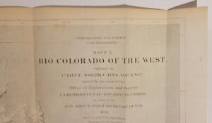
Map No. 2. Rio Colorado of the West, explored by 1st Lieut. Joseph C. Ives, Topl. Engrs. under the direction of the Office of Explorations and Surveys. A. A. Humphreys, Capt. Topl. Engrs. in Charge, by order of the Hon. John B. Floyd, Secretary of War.By: Joseph C. Ives Drawn & Frederick Wilhelm von 1858 (dated) Washington D.C.Size: 15 x 35 inches (38 x 88 cm)This spectacular map, the earliest scientific map of the Grand Canyon region, shows the course of the Colorado River across what was then New Mexico Territory, and would later become Arizona, with Utah Territory in the north, today parts... |

