|
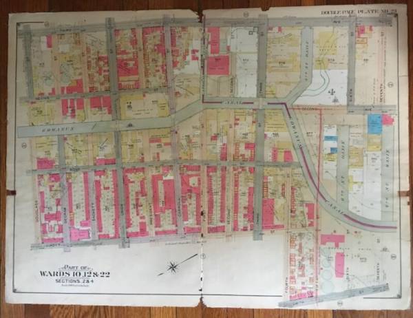
This is a very large 1904 E. Belcher Hyde original (updated to June 1, 1910), Plat Atlas Map of Gowanus in Brooklyn, New York on linen. It includes St. Agnes R.C. Church & School. It measures 27 x 36 and is in VG+ condition with minor imperfections. Map: covers from 3rd Ave. to Smith St. and from Douglass St. to 7th St. Basin.Each color represents the type of structure. Yellow is wood, pink is brick, blue is iron and brown is stone. The X's through the buildings indicate it is a barn or stable. Brown indicates stone structures. A circle with a "t" indicates a fire hydrant. The map also indicat... |

